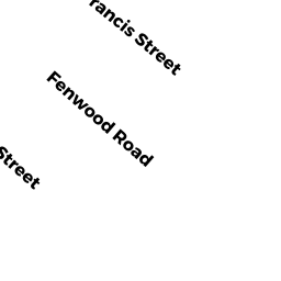
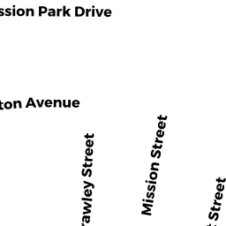
741743 HUNTINGTON AV
Owner Information
RTH COMMUNITY APARTMENTS LP MASS LP
75 FEDERAL ST 4TH FLR
BOSTON, MA 02110


Property Details
741743 HUNTINGTON AV is classified as a Mixed Use (Primarily Commercial, some Residential) (Rc: two res units).
The primary structure on this property was built in 1900.
741743 HUNTINGTON AV is valued at $453,772. The land is valued at $137,635 and the structures are valued at $316,137.
The most recent deed for 741743 HUNTINGTON AV is recorded at the local registrar in Book 31306, Page 209. 741743 HUNTINGTON AV was last sold on Wednesday, April 30, 2003 for $523,000.
Assessment data from fiscal year 2020.
Flood Data
According to the FEMA National Flood Hazard Layer, this property does not appear to be in a flood zone. It may also be in an area not yet reviewed. Nonetheless, confirm this information prior to taking any action.
To view the flood hazards around this property, create a FEMA "Firmette" Map of the area around 741743 HUNTINGTON AV.
Broadband Internet Providers
| Provider | Type | Bandwidth (mbps) | |
|---|---|---|---|
| Starry, Inc. | Fixed Wireless | 200 | 200 |
| VSAT Systems, LLC. | Satellite | 2 | 1 |
| Viasat Inc | Satellite | 100 | 3 |
| Crown Castle Fiber | Fiber | 0 | 0 |
| HughesNet | Satellite | 25 | 3 |
| GCI Communication Corp. | Satellite | 0 | 0 |
| T-Mobile | Fixed Wireless | 25 | 3 |
| netBlazr Inc | Fixed Wireless | 50 | 50 |
| Verizon New England Inc. | DSL | 7 | 0 |
| Comcast | Cable | 1000 | 35 |
Broadband service provider data from December 2020.
Adjacent Properties
- 733739 HUNTINGTON AV
Mixed Use (Primarily Commercial, some Residential) owned by RTH COMMUNITY APARTMENTS LP MASS LP - 745747 HUNTINGTON AV
Mixed Use (Primarily Commercial, some Residential) owned by RTH COMMUNITY APARTMENTS LP MASS LP - 7 Fenwood RD
Other Congregate Housing (includes non-transient shared living arrangements) owned by RTH COOP HOUSING LLC